Tocht Mountainbike Gouffern en Auge - Randonnée VTT - Le Bourg Saint Léonard - Photo

Randonnée VTT - Le Bourg Saint Léonard

 tracegps
tracegps

Gebruiker

© OpenStreetMap contributors
Lengte
Lengte
43 km
Max. hoogte
Max. hoogte
259 m
Positief hoogteverschil
754 m
Km-Effort
Km-Effort  
53 km
Min. hoogte
Min. hoogte
105 m
Negatief hoogteverschil
755 m
Boucle
Boucle
Ja
Datum van aanmaak :
2014-12-10 00:00:00.0
Laatste wijziging :
2014-12-10 00:00:00.0

(1 Bericht)

Mountainbike
Mountainbike
2h30
Moeilijkheid : Moeilijk

Scan deze QR-code om de tocht te openen in de SityTrail-applicatie

Gratisgps-wandelapplicatie

Logo SityTrail SityTrail

IGN / Geografische instituten

SityTrail uit de App Store downloaden SityTrail uit Google Play downloaden

Logo SityTrail SityTrail World

De wereld gaat voor u open

SityTrail uit de App Store downloaden SityTrail uit Google Play downloaden SityTrail op Huawei AppGallery downloaden

Over ons

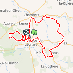
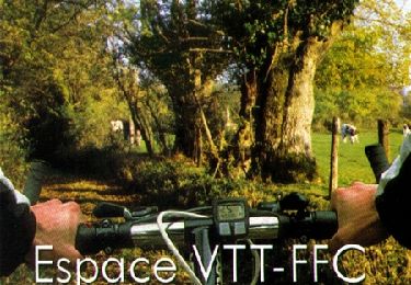
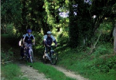
Tocht Mountainbike van 43 km beschikbaar op Normandië, Orne, Gouffern en Auge. Deze tocht wordt voorgesteld door tracegps.

Beschrijving

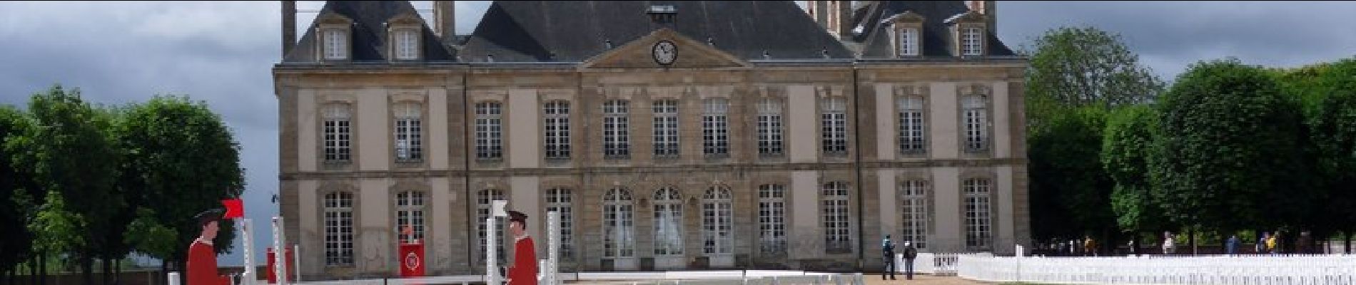
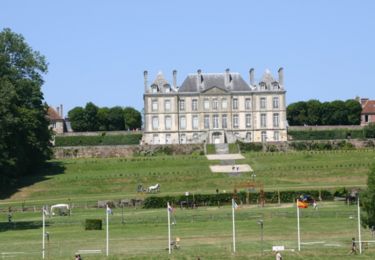
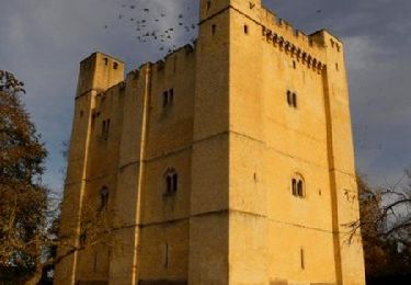
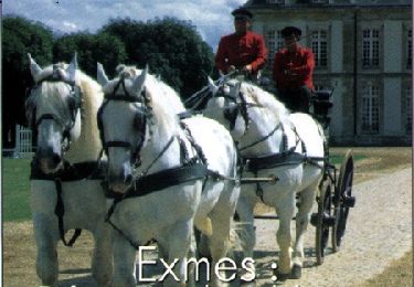
Un circuit d'environ 43 km qui permet de découvrir par les chemins les alentours du Bourg Saint Léonard. Avec notamment une visite de Exmes et du Haras du Pin.

Hoogteprofiel

Foto's

Plaatsbepaling

Land:
France
Regio :
Normandië
Departement/Provincie :
Orne
Gemeente :
Gouffern en Auge
Locatie:
Le Bourg-Saint-Léonard
Vertrek:(Dec)
Vertrek:(UTM)
287175 ; 5405658 (31U) N.

Opmerkingen

Gelieve in te loggen om een commentaar of een beoordeling achter te laten


tres bien


Wandeltochten in de omgeving

Tocht Paard Gouffern en Auge - Boucle du Bourg-St-Leonard  - Photo
Paard
tracegps

Paard

Moeilijk
Gouffern en Auge, Normandië, Orne, France
20 km | 23 km-effort
5h 0min
Ja
Tocht Stappen Le Pin-au-Haras - Versailles du cheval  - Le Pin au Haras - Photo
Stappen
tracegps

Stappen

Medium
Le Pin-au-Haras, Normandië, Orne, France
6,9 km | 8,4 km-effort
2h 19min
Ja
Tocht Paard Gouffern en Auge - Août 1944 - Chambois - Photo
Paard
tracegps

Paard

Medium
Gouffern en Auge, Normandië, Orne, France
16,1 km | 19 km-effort
4h 0min
Ja
Tocht Mountainbike Gouffern en Auge - Août 1944 - Chambois - Photo
Mountainbike
tracegps

Mountainbike

Medium
Gouffern en Auge, Normandië, Orne, France
16,1 km | 19 km-effort
1h 30min
Ja
Tocht Stappen Gouffern en Auge - Août 1944 - Chambois - Photo
Stappen
tracegps

Stappen

Moeilijk
Gouffern en Auge, Normandië, Orne, France
16,1 km | 19 km-effort
5h 0min
Ja
Tocht Mountainbike Gouffern en Auge - Espace VTT FFC du Pays d'Auge Ornais - Circuit n°14 - Trans'Pays d'Auge - Photo
Mountainbike
tracegps

Mountainbike

Moeilijk
Gouffern en Auge, Normandië, Orne, France
20 km | 26 km-effort
1h 30min
Neen
Tocht Mountainbike Gouffern en Auge - Espace VTT FFC du Pays d'Auge Ornais - Circuit n°12 - Exmes - Photo
Mountainbike
tracegps

Mountainbike

Moeilijk
Gouffern en Auge, Normandië, Orne, France
24 km | 28 km-effort
2h 0min
Ja
Tocht Mountainbike Gouffern en Auge - Espace VTT FFC du Pays d'Auge Ornais - Circuit n°4 - Trun - Photo
Mountainbike
tracegps

Mountainbike

Moeilijk
Gouffern en Auge, Normandië, Orne, France
47 km | 53 km-effort
3h 30min
Ja
Tocht Mountainbike Gouffern en Auge - Espace VTT FFC du Pays d'Auge Ornais- Circuit n°3 - Chambois - Fel - Photo
Mountainbike
tracegps

Mountainbike

Medium
Gouffern en Auge, Normandië, Orne, France
8 km | 9,1 km-effort
40min
Ja


Sluiten
Mijn abonnementen